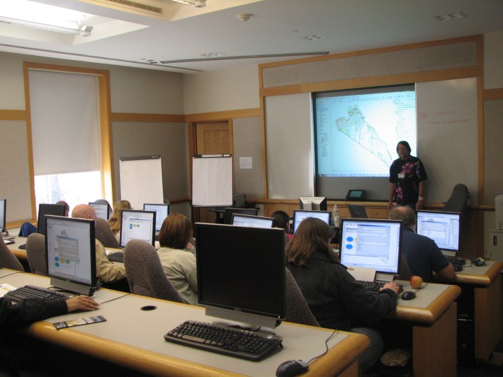
Training Session and Certificate Presentation
 As part of her commitment to raising the awareness of professionals and developing human capacity in Geographic Information Systems (GIS) solutions, Support Systems Limited successfully organised and trained some professionals on the ESRI ArcGIS 9.x software. The ArcGIS 1 & II Training, conducted at the Support Systems ad-hoc Training Centre in Lagos, offered instructor-led courses that explain Geographical Information Systems (GIS) concepts, explore GIS applications, and teach people to use ESRI GIS software and related technologies.
Adjudged by participants as an enriching session, the ArcGIS training covered topics such as:
- ArcGis overview, data models and ArcGIS software
- Spatial data concepts, Spatial coordinate systems and map projections
- Query data and map displays
- Spatial analysis and data management
- Geocoding
- Data automation; Data sources; Digitizing; Data conversion
- Project Management
- Geoprocessing, etc


