Enterprise Geospatial Services Overview
Support Systems Limited empowers your organization with cutting-edge Enterprise Geospatial Services, enabling smarter decision-making through advanced GIS technology, spatial analytics, and real-time data integration. Our solutions are designed to streamline operations, enhance situational awareness, and drive efficiency across environmental, infrastructure, and socio-economic initiatives.
Why Choose Our Enterprise Geospatial Services?
- End-to-End GIS Solutions: Leveraging ESRI’s ArcGIS Enterprise platform, we provide scalable, secure, and high-performance geospatial tools tailored to your business needs.
- Real-Time Data Intelligence: Overcome the challenges of tracking dynamic geospatial data with live dashboards, predictive analytics, and AI-driven insights.
- Cross-Industry Expertise: From government and utilities to telecom and disaster management, our solutions support mission-critical workflows with precision.
- Seamless Integration: Our enterprise-ready systems connect with your existing IT infrastructure, ensuring smooth data flow between ERP, CRM, and IoT platforms.
- Data Science & Advanced Analytics: Transform raw geospatial data into actionable intelligence with machine learning, spatial modeling, and automated reporting.
Key Capabilities
✔ Enterprise GIS Deployment – Centralized, cloud-based, or on-premise solutions✔ Asset & Infrastructure Management – Optimize resource allocation and maintenance
✔ Situational Awareness & Risk Mitigation – Real-time monitoring for security and compliance
✔ Custom Geospatial Applications – Tailored tools for industry-specific challenges
With Support Systems Limited, harness the power of Enterprise Geospatial Services to unlock data-driven decision-making, operational efficiency, and competitive advantage.
Our GIS Services
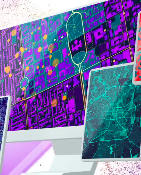
With the influx of geospatial data, customers are faced with the challenge of tracking real-time data, performing various complex data analysis, and supporting data science workflows. We offer our customers a seamless solution to meet their geospatial needs with a focused solution.
We help organizations deploy and deliver industry-leading mapping and analytics to their infrastructure and the cloud using ESRI’s ArcGIS Enterprise.
The Solution offers your organization a full range of benefits such as:
- Map and App Creation
- Geographic Data Management
- Data Sharing and Collaboration
- Raster and Big Data Analytics
- System Security and Monitoring
- Deployment Architecture planning
- Virtualized Hardware and Cloud Deployment
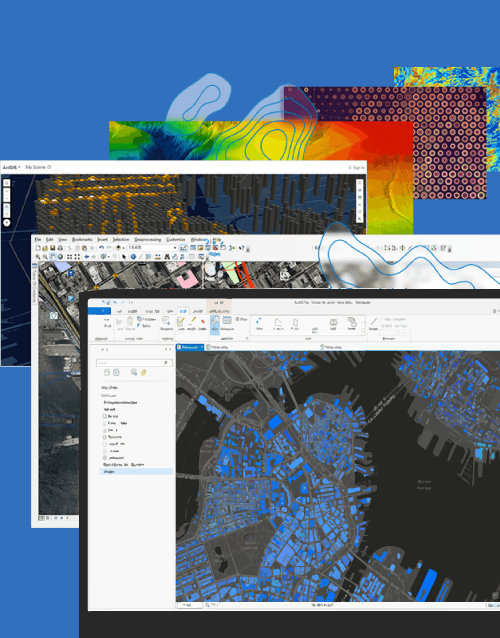
We provide powerful, professional and industry-leading desktop applications for various clients to help them realize the advantage of location awareness, make a difference, and add tangible value for their organization, community, and the world. Each application has unique capabilities that suit the various needs of customers.
This solution offers your organization immense benefits such as:
- Map and Scene Design
- Desktop Analytics
- 3D Mapping

Industry We Serve
Government
Health and Safety
Transportation/Logistics
Utilities
Education
Energy
Defence
Telecommunications
Manufacturing
Retail
Insurance
Real Estate